Maps
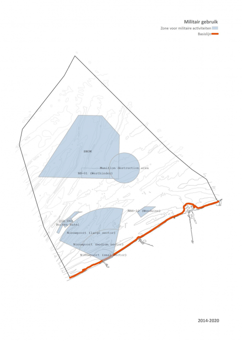
Military use
Description Militair gebruik / usage militaire
PNG file - 661.92 kB - 1 318 x 1 863 pixels
added on 2014-04-011 632 viewsGazetteer Places on this image:Belgian Exclusive Economic Zone
From reference Van de Velde, M. et al. (Ed.) (2014). Er beweegt wat op z...
Download full size
This work is licensed under a Creative Commons Attribution-NonCommercial-ShareAlike 4.0 International License
Click here to return to the thumbnails overview


