Maps
ICES Statistical Rectangles
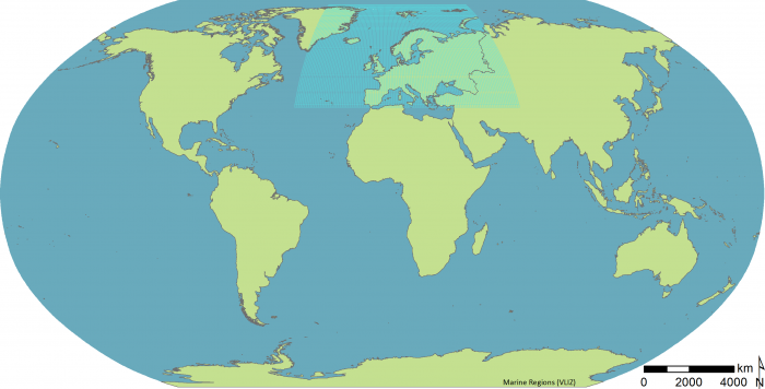
Description Vector polygon representation of the ICES Statistical Rectangles.Purpose: The ICES statistical Rectangles are used as bounding areas for calculation of fish statistics, e.g. catch per unit effort (CPUE) and stock estimates. PNG file - 147.70 kB - 3 103 x 1 580 pixels added on 2015-05-282 530 viewsGazetteer Places on this image:ICES Statistical Rectangles Download full size

This work is licensed under a Creative Commons Attribution-NonCommercial-ShareAlike 4.0 International License
Click here to return to the thumbnails overview


