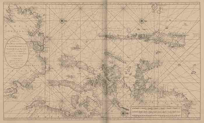
Van Keulen (1728, kaart 60)
Description Nieuwe Paskaart van de WestKust van Schotland de Lewys Eylanden en de Noord Kust van Yrland, beginnende van C. Wrath of de Noordelijkste hoek van Schotland, tot in het St. Ioris Kanaal
Datum :1728
Plaats: Noorderkanaal
JPG file - 4.03 MB - 12 306 x 7 443 pixels
added on 2011-08-03966 viewsMarine Gazetteer Places on this image:North Channel
From reference Voogt, C.J.; van Keulen, J. (1728). De Nieuwe Groote Lich... (page [226])
This work is licensed under a Creative Commons Attribution-NonCommercial-ShareAlike 4.0 International License