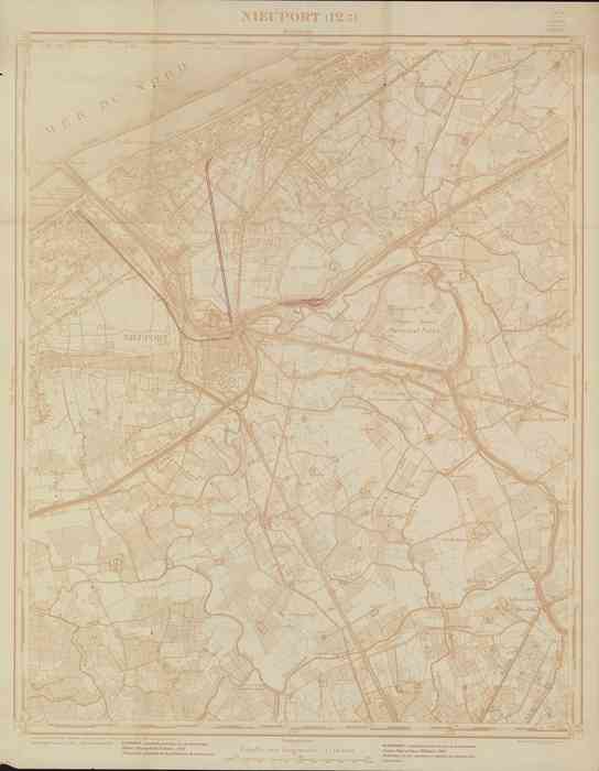
Nieuwpoort (1949)
Description Kaart van Nieuwpoort en omliggende gemeenten uit 1933, aangevuld in 1949 met de belangrijkste wijzigingen van de verkeerswegen.
Plaats: Nieuwpoort
Schaal: 1/10000
JPG file - 6.64 MB - 10 469 x 13 478 pixels
added on 2008-06-24926 viewsMarine Gazetteer Places on this image:Nieuwpoort
This work is licensed under a Creative Commons Attribution-NonCommercial-ShareAlike 4.0 International License