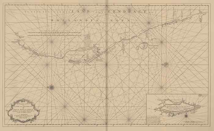
Van Keulen (1728, kaart 189)
Description Het Westelykste Gedeelte van 't Land vande Eendragt of Nova Hollandia Strekkende van het Eyland Rottenest tot voorby de Willems Rivier
Datum: 1728
Plaats: Centraal-Westelijk Australisch Plat
JPG file - 4.09 MB - 12 005 x 7 352 pixels
added on 2011-08-10597 viewsMarine Gazetteer Places on this image:West Central Australian Shelf
From reference de Marre, J.; van Keulen, J. (1753). De Nieuwe Groote Lic... (page [234])